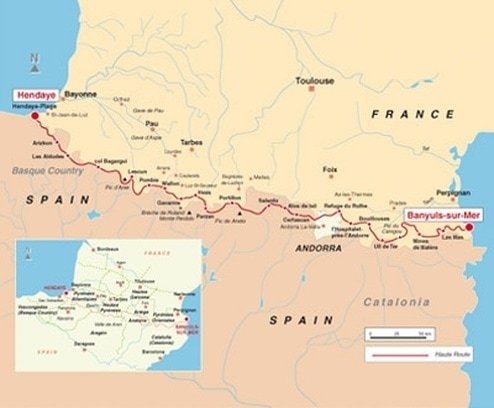
HRP - 500 miles / 800 km
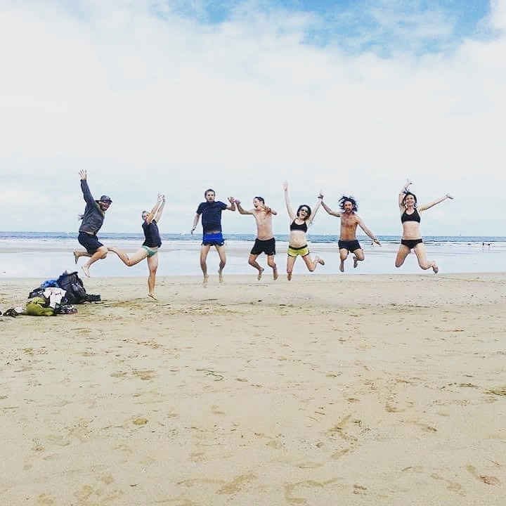
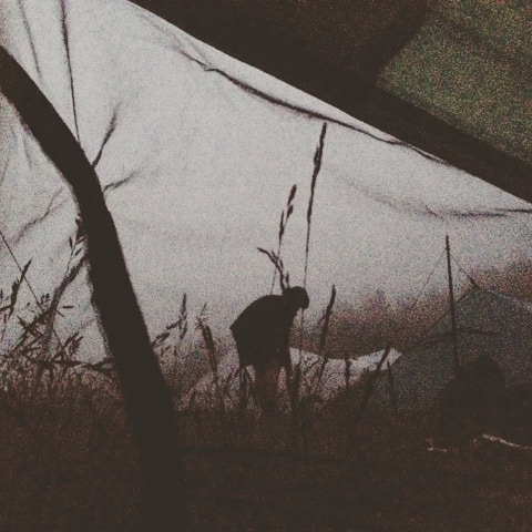
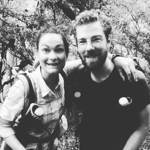
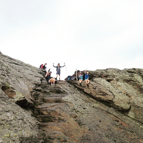
Beside all the off - trail type 2 fun, we had a blast thru-hiking experience.
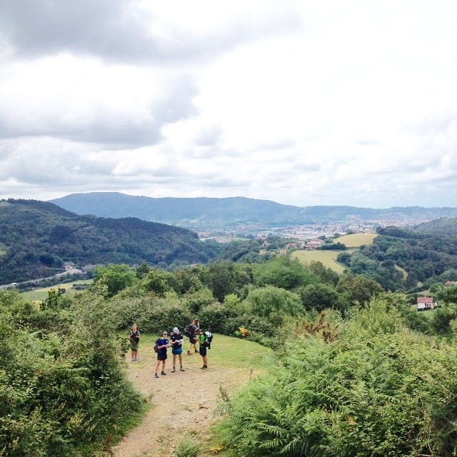
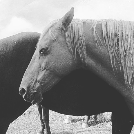
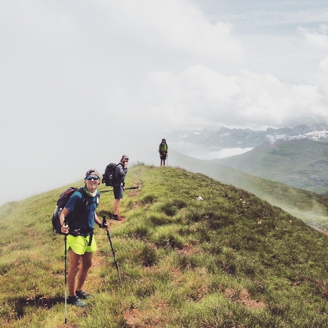
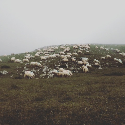
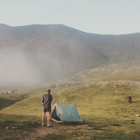
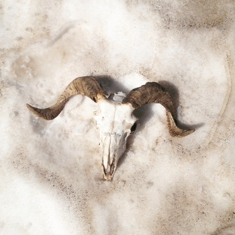
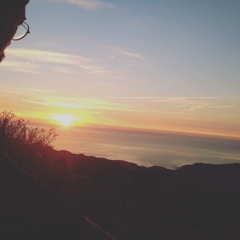
The views are absolutely stunning, though the damage of the livestock on the vegetation a bit sad. They also leave a lot of shit on the trail. Because of this and other human activity, you (unfortunatly) don't need to fear wild animals like black bears, wild cats or other beauties. The little devilisch tick might hunt you in grassy areas.. check yourself on that. Mosquitos were annoying on only two days.
We definitely recommend the trail and to go and have a fantastic dinner at Lescuns gite d'etappe la mainson de la montagne and in Gite Cal Pai in Eyne, you won't regret it. We didn't agree on Ton Joosten's advice for (heavy!!) gear, but do take him serious on the dificulty of finding the trail.
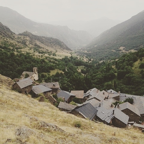
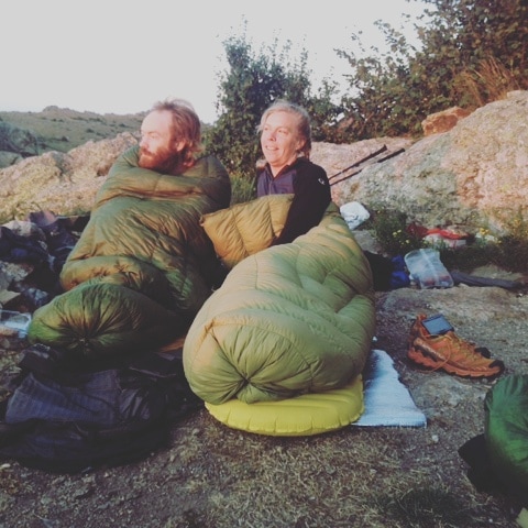
It's not problem to get water, but because of all the livestock you better filter it. To ressuply wasn't a problem at all, though sometimes it was hard because there was not a lot of choice. We wildcamped all the time. You pass villages or refuges almost every day though. Sometimes we camped around the mountain huts, so we could drink wine in the evening and coffee in the morning.
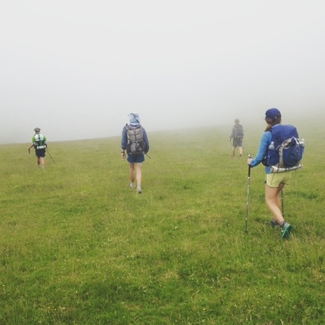
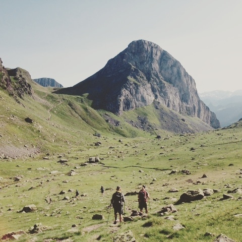
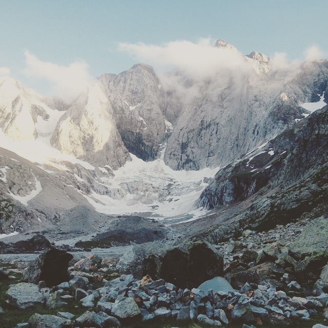
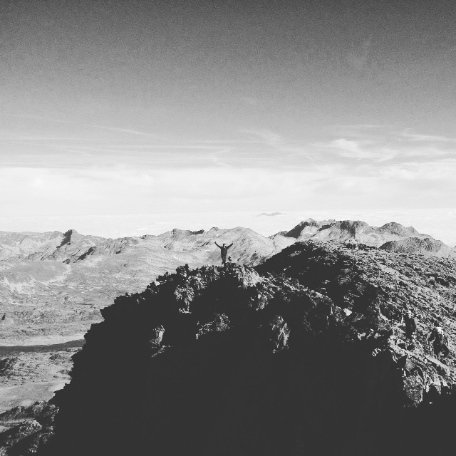
The trail is demanding in its steepness (you shouldn't fear hights either) and rocky parts. If you want to go more comfortable, less high and better marked, then we would advice to take the gr10 on (the rainy) french side or the bit more demanding gr11 in Spain. They are also very pretty, just a bit more crowded. The weather can change quickly. Thunderstroms occur regularly in the afternoons, so start early in the morning. Also know that you will walk through a lot of fogg in Basque county, which makes navigating more dificult.
Preperation:
- Gaia GPS App (make sure you uploaded the detailed map of the region before you go. It could take some time)
We uploaded three different kinds of gps-data, we had found on pages of people who thru-hiked the trail before us.
- We scanned parts of the paper maps we needed. We made a pdf-file for our phones and printed the 35 pages. Some maps weren't available, mostly of Spain. Here we just used the book and the gps app.
- Ton Joosten's book: The Pyrenean Haute Route. This we also scanned and used it as a PDF-file on our phones. (No E-book available yet...)
- Check on snow levels well. We had to make a detour to the gr11 for 2 days, because some parts were too dangerous without snowgear, this was in the beginning of July.
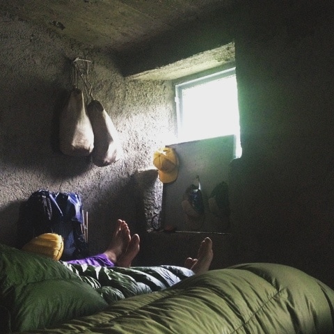
- Don't bring much stuff. Three saison gear will do, use layers to stay warm. Try to get your basic weight down to 5 kilos. (remember to not pack your fears ;)
- Trailrunners will do, we prefer them because they are lite, breathable (no blisters), better fitting and more comfortable than boots. Though opinions differ (with heavy weight you might prefer boots). Make sure to wear about 2 sizes bigger, your feet swell!
- Find and read blogs of others. We contacted people who already walked the trail to ask for specific advice.
The views are absolutely stunning, though the damage of the livestock on the vegetation a bit sad. They also leave a lot of shit on the trail. Because of this and other human activity, you (unfortunatly) don't need to fear wild animals like black bears, wild cats or other beauties. The little devilisch tick might hunt you in grassy areas.. check yourself on that. Mosquitos were annoying on only two days.
We definitely recommend the trail and to go and have a fantastic dinner at Lescuns gite d'etappe la mainson de la montagne and in Gite Cal Pai in Eyne, you won't regret it. We didn't agree on Ton Joosten's advice for (heavy!!) gear, but do take him serious on the dificulty of finding the trail.
It's not problem to get water, but because of all the livestock you better filter it. To ressuply wasn't a problem at all, though sometimes it was hard because there was not a lot of choice. We wildcamped all the time. You pass villages or refuges almost every day though. Sometimes we camped around the mountain huts, so we could drink wine in the evening and coffee in the morning.
The trail is demanding in its steepness (you shouldn't fear hights either) and rocky parts. If you want to go more comfortable, less high and better marked, then we would advice to take the gr10 on (the rainy) french side or the bit more demanding gr11 in Spain. They are also very pretty, just a bit more crowded. The weather can change quickly. Thunderstroms occur regularly in the afternoons, so start early in the morning. Also know that you will walk through a lot of fogg in Basque county, which makes navigating more dificult.
Preperation:
- Gaia GPS App (make sure you uploaded the detailed map of the region before you go. It could take some time)
We uploaded three different kinds of gps-data, we had found on pages of people who thru-hiked the trail before us.
- We scanned parts of the paper maps we needed. We made a pdf-file for our phones and printed the 35 pages. Some maps weren't available, mostly of Spain. Here we just used the book and the gps app.
- Ton Joosten's book: The Pyrenean Haute Route. This we also scanned and used it as a PDF-file on our phones. (No E-book available yet...)
- Check on snow levels well. We had to make a detour to the gr11 for 2 days, because some parts were too dangerous without snowgear, this was in the beginning of July.
- Don't bring much stuff. Three saison gear will do, use layers to stay warm. Try to get your basic weight down to 5 kilos. (remember to not pack your fears ;)
- Trailrunners will do, we prefer them because they are lite, breathable (no blisters), better fitting and more comfortable than boots. Though opinions differ (with heavy weight you might prefer boots). Make sure to wear about 2 sizes bigger, your feet swell!
- Find and read blogs of others. We contacted people who already walked the trail to ask for specific advice.